

Context
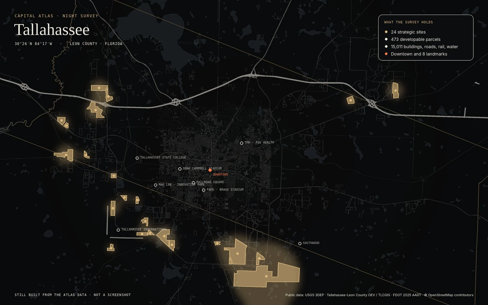
The data was public. The picture was not.
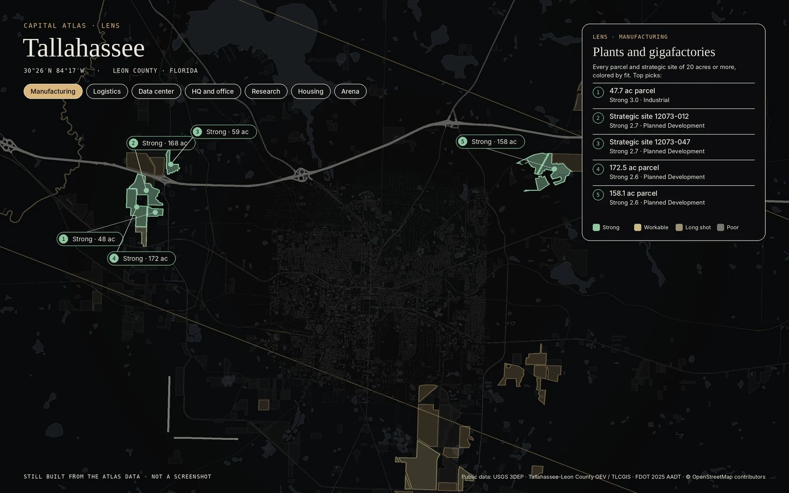
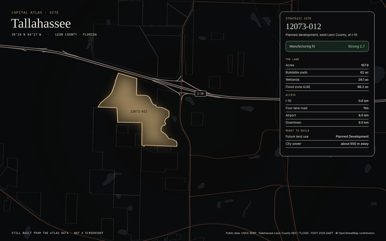
Sites, parcels, roads, traffic counts, flood zones, and incentives lived in separate layers and spreadsheets. Answering where a plant, a data center, or an arena could go meant stitching them together by hand, every time.